
07 Nov, 2025
2 min read
Severe Tropical Storm Paolo Exits Philippine Waters as PAGASA Monitors New Low Pressure Area
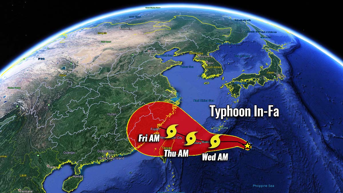
MANILA, Philippines – Severe Tropical Storm Paolo (Matmo) has exited the Philippine Area of Responsibility (PAR), with no remaining areas under storm signals as of Saturday morning, October 4. By 10 a.m., Paolo was positioned approximately 440 kilometers west of Sinait, Ilocos Sur, continuing its west-northwest trajectory toward southern China at a speed of 20 kilometers per hour (km/h).
The storm maintains maximum sustained winds of 110 km/h and gusts reaching up to 135 km/h. The Philippine Atmospheric, Geophysical, and Astronomical Services Administration (PAGASA) has warned that Paolo may regain strength and intensify back into a typhoon over the West Philippine Sea later on Saturday.
Previously, Paolo reached typhoon status with peak sustained winds of 130 km/h, making landfall in Dinapigue, Isabela, at 9 a.m. last Friday, October 3. The cyclone caused heavy to torrential rainfall and wind signals ranging from No. 1 to No. 4, primarily affecting Northern and Central Luzon. Following its passage through the mountainous terrain of Northern Luzon, Paolo weakened to a severe tropical storm by late Friday afternoon.
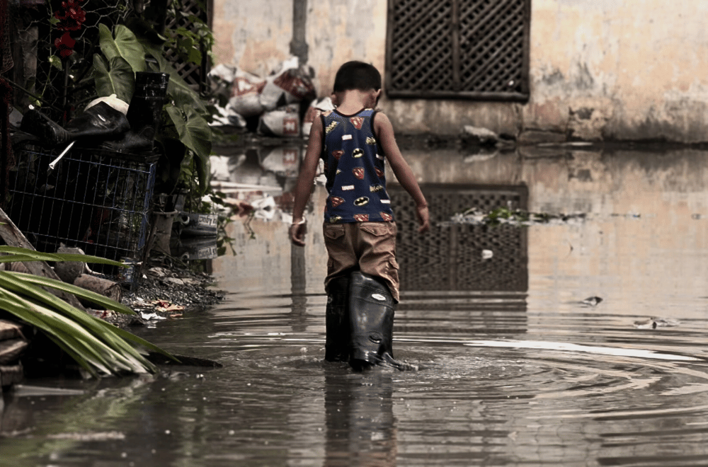
Despite its departure, Paolo's associated trough could still bring scattered rainshowers and thunderstorms to the Ilocos Region, Cordillera Administrative Region, Central Luzon, Metro Manila, Cavite, Batangas, and Occidental Mindoro on Saturday. Meanwhile, its outer bands are expected to generate strong to gale-force gusts in Batanes, northern mainland Cagayan including the Babuyan Islands, Apayao, Zambales, and Bataan throughout the day.
Maritime conditions remain hazardous in several coastal areas:
- Ilocos Region seaboard: waves up to 3 meters high
- Batanes, Babuyan Islands, and Zambales coasts: waves up to 2.5 meters
- Mainland Cagayan, Isabela, and Bataan shores: waves reaching 2 meters
Paolo is recorded as the 16th tropical cyclone to affect the Philippines in 2025 and the first to enter PAR this October, a month when two to four such systems typically develop or enter the region.
In related developments, PAGASA is monitoring a newly formed low pressure area (LPA) located 2,300 kilometers east-northeast of extreme Northern Luzon as of 8 a.m. Saturday. This LPA has a high likelihood of evolving into a tropical depression within the next 24 hours.
Weather Specialist Grace Castañeda stated that the system may enter the Philippine Area of Responsibility by Monday night, October 6, or Tuesday morning, October 7. Further updates will be provided as the situation evolves.
Recommended For You

DOJ Receives Sexual Assault and Lasciviousness Complaints Against Marikina Lawmaker
Nov 07, 2025
Delfin Carreon

DOT Launches Senior Citizen Tour Guide Training Program in Intramuros
Nov 07, 2025
Gregoria Sumulong
Benguet Rep. Eric Go Yap Denies Involvement in Flood Control Corruption Scandal
Nov 07, 2025
Apolinario Tiamzon
Flooding Disrupts Transportation in Calasiao, Pangasinan Amid Bridge Construction
Nov 07, 2025
Apolinario Tiamzon